Portfolio
Welcome to my E-Portfolio
Here you can find a collection of my projects and works that I have done during my academic and professional career.
- All
- Spatial Analysis & Maps
- Data Science
- Geospatial & GeoAI Analysis
- Thesis
Master Thesis
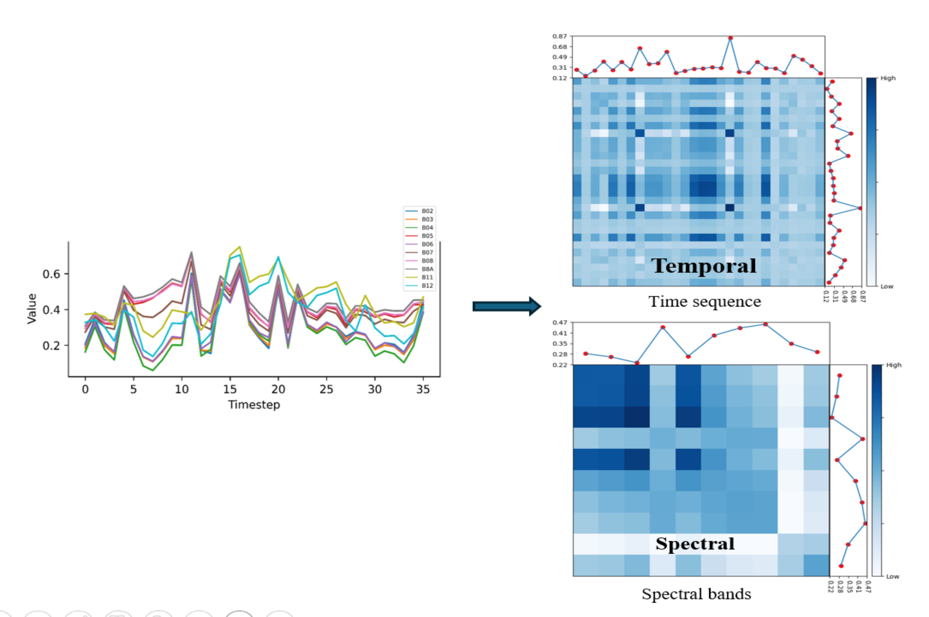
Remote Sensing Time Series as Covariance Matrices for Crop Classification
Collection of My StoryMaps
Explore. Discover. Share. With the Collection of my ArcGIS StoryMaps

A Virtual Tour Guide
A short guide for tourists looking for hotel options within walking distance
GeoSpatial Maps
GeoVisualization
What's in the Air?
Air Quality Assessment Using Spatial Interpolation Technique

Panthera Uncia
Safe Zone Analysis For Snow Leopards In The Karakoram Mountains
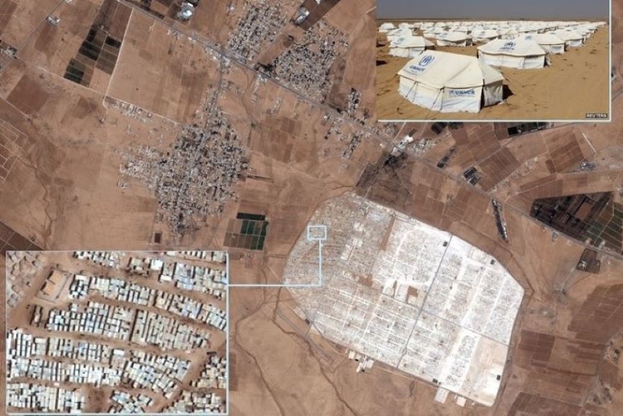
No Interruption With Earth Observation
Humanitarian Access and Earth Observation
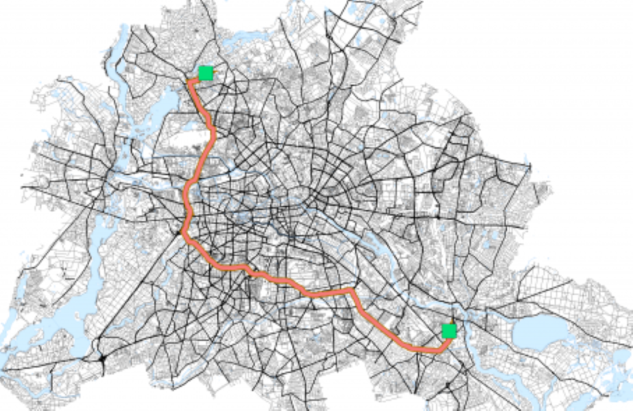
Life of a Student
Multitasking and optimizing with Network Analysis
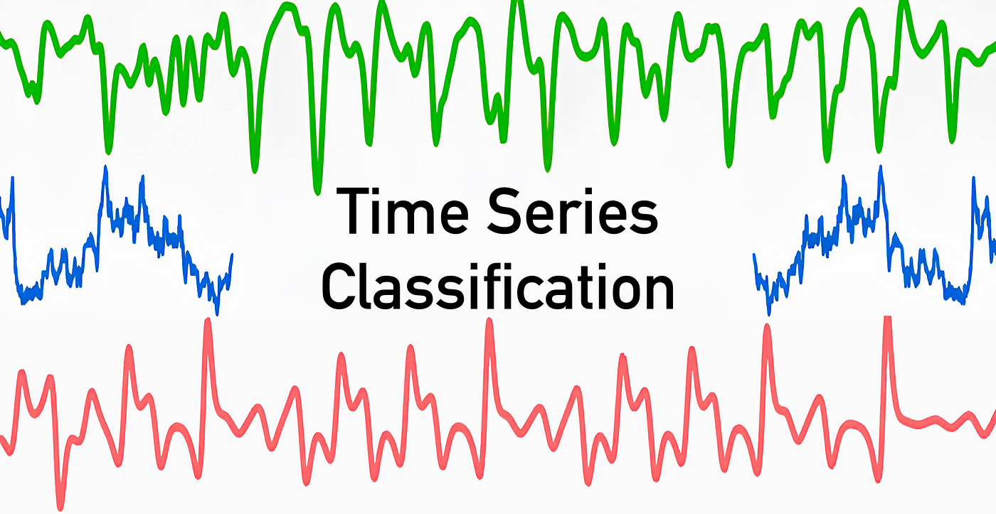
TimeSeries Classification - DL
Crop Classification Using Remote Sensing Time-Series
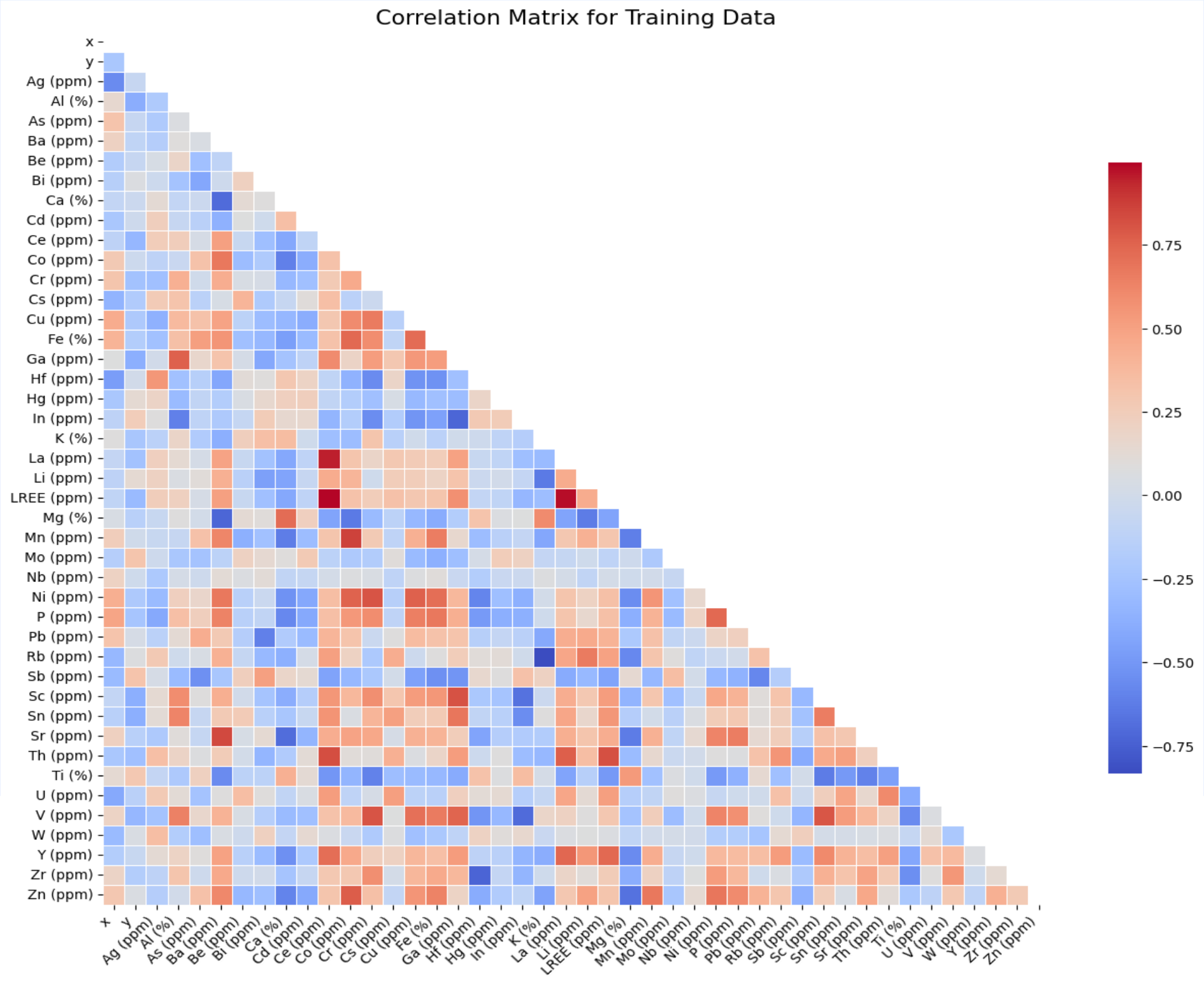
Stream Samples
Using Stream Samples Data For Mineral Prospect Mapping

WebGIS Application Backend - SQL
Design the backend database for the "Roof of the World" festival application.
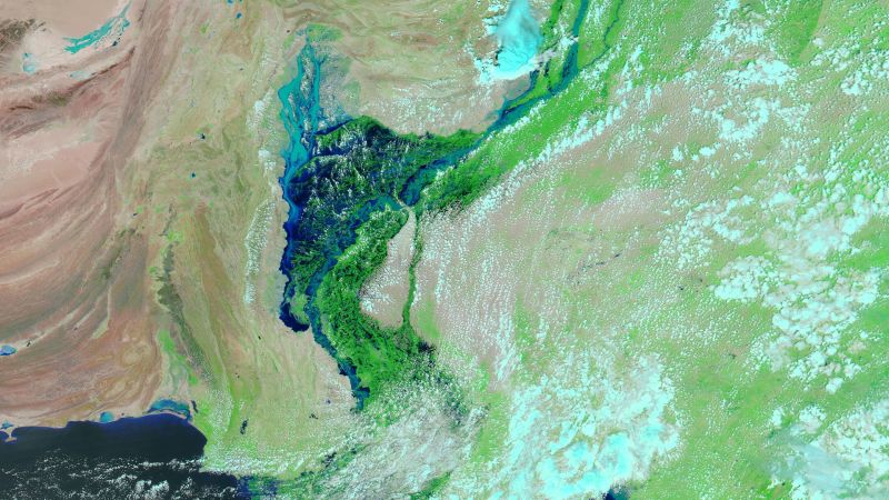
Flood Mapping
Flood estimation using Sentinel-I SAR data in Google Earth Engine.
Software Development With Python
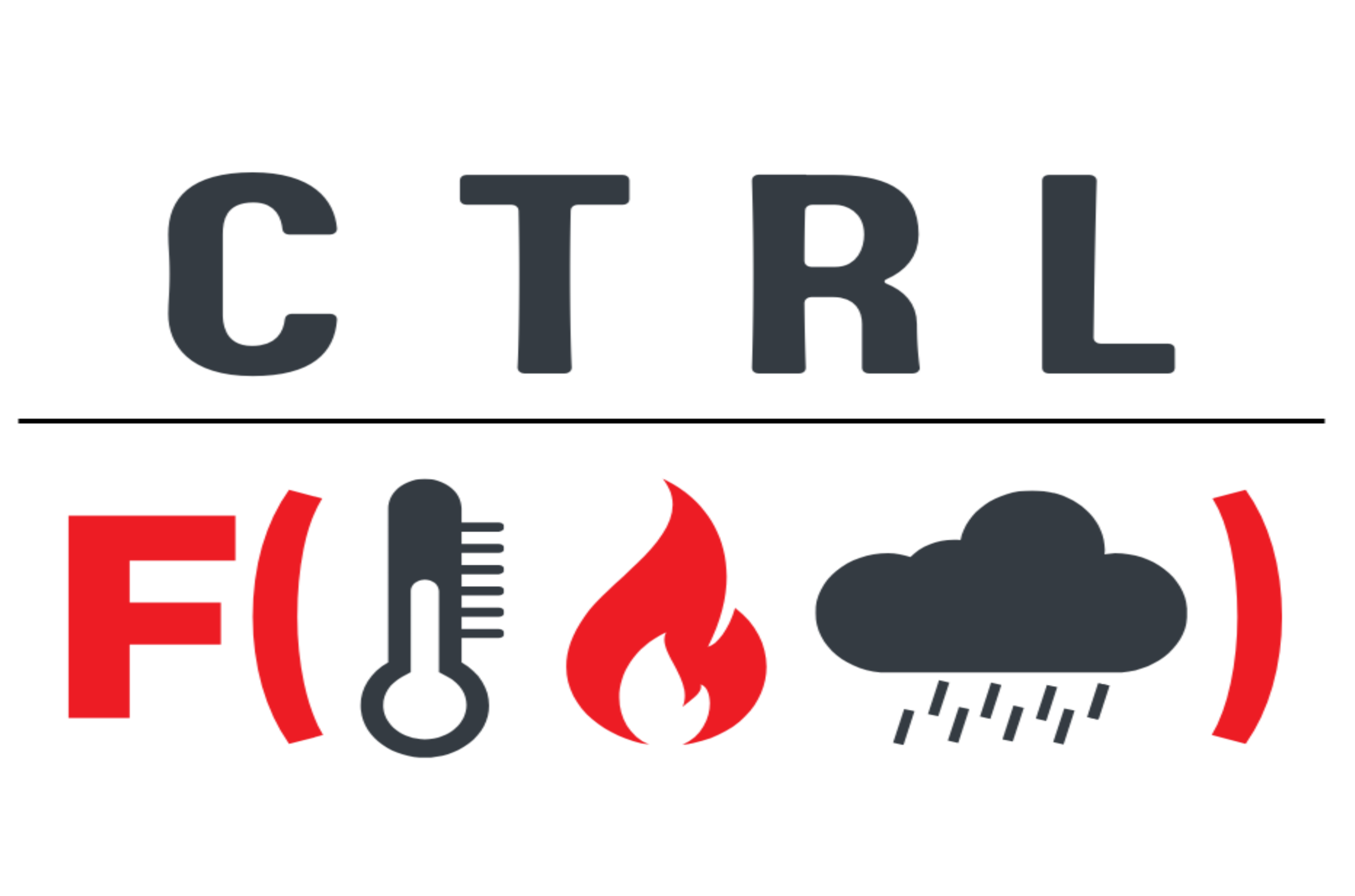
Ctrl+F (Fire) - Explore and visualize climate data to monitor wildfire risks with ease!
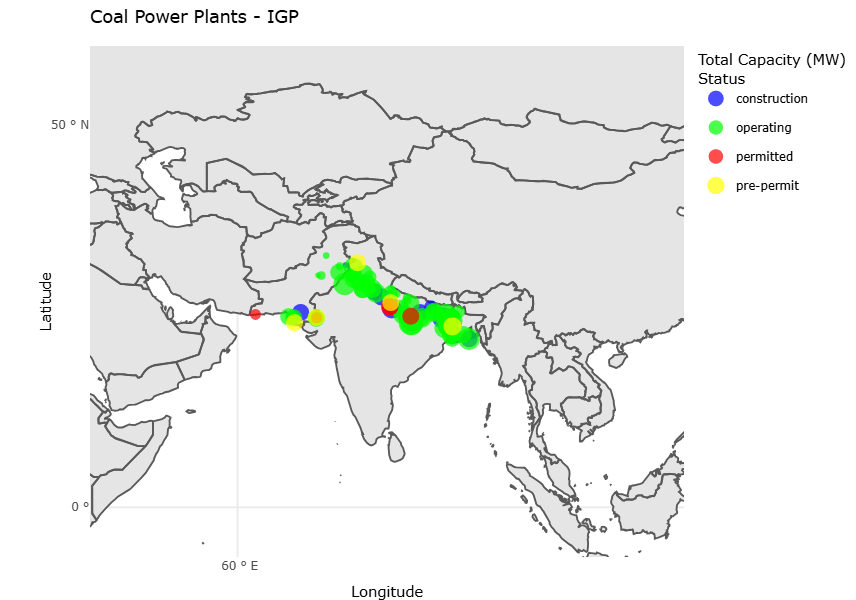
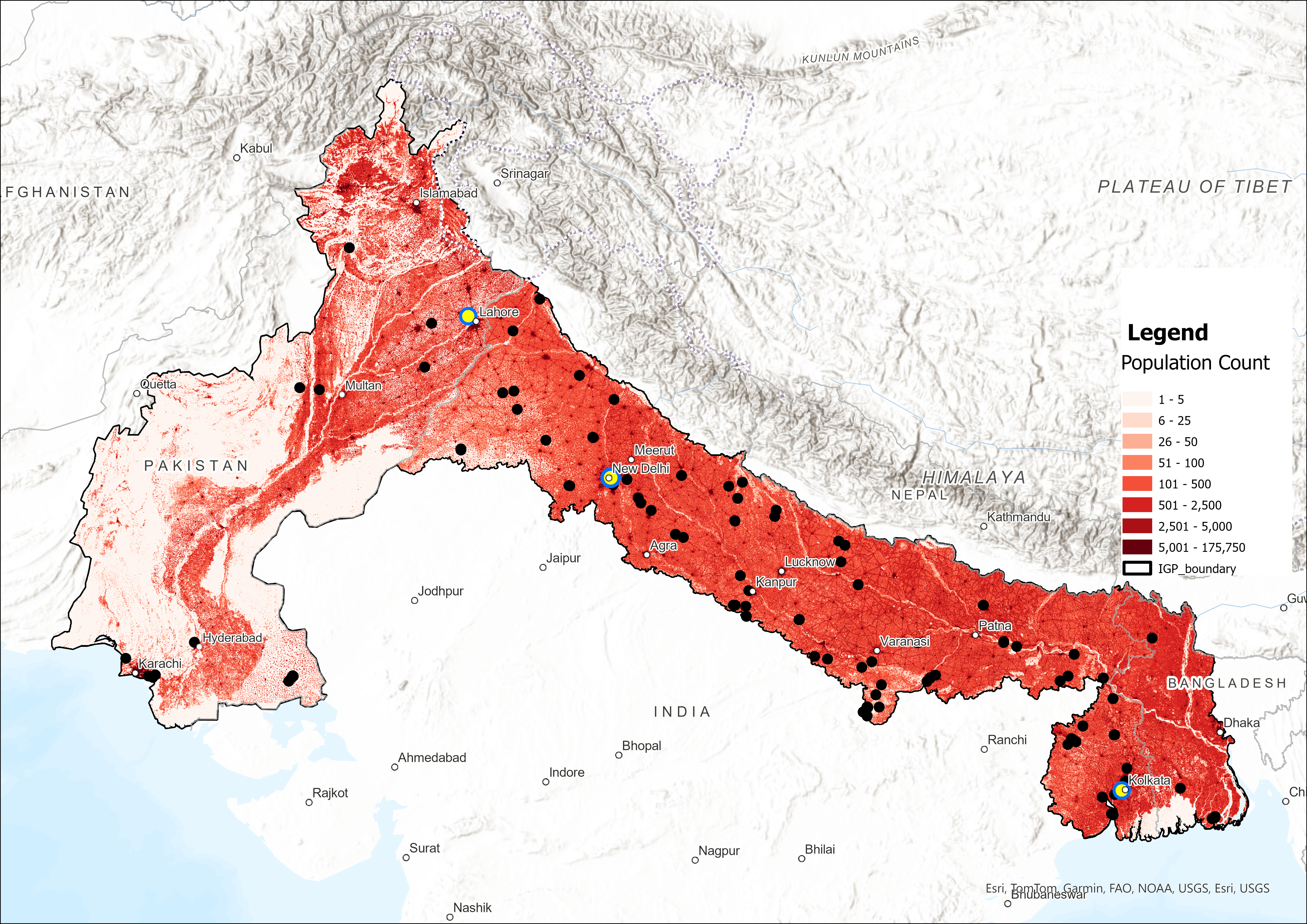
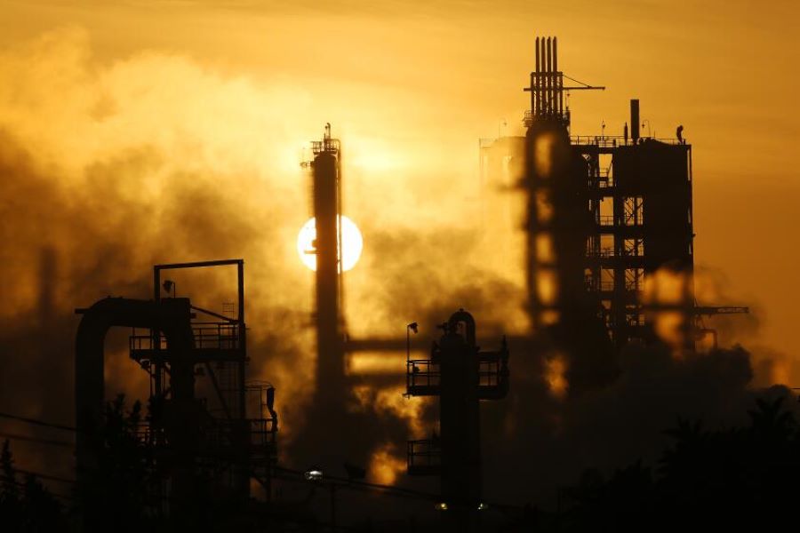
Coal Plants IGP
Coal Plant Emissions and Environmental Impacts in the Indo-Gangetic Plain (IGP)
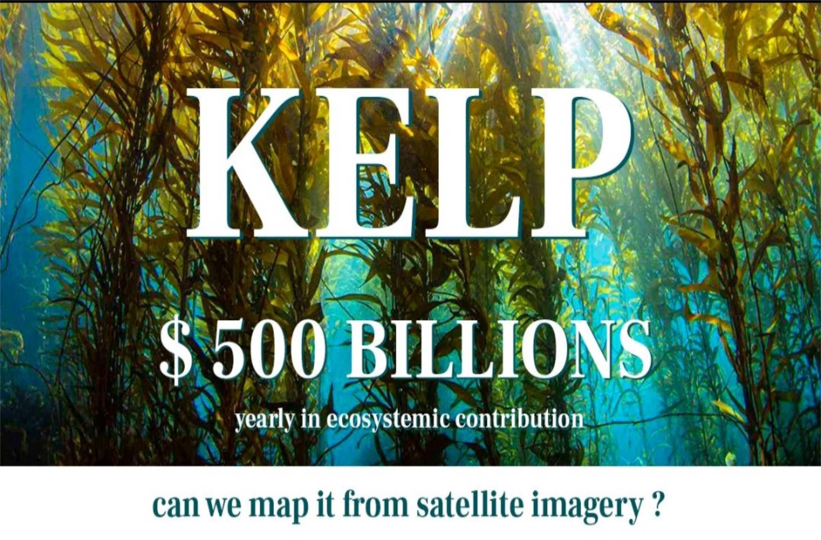
Can We Map Kelp From Satellite Imagery?
"Kelp Wanted: Segmenting Kelp Forests" - Semantic Segmentation challenge
Streamlit App
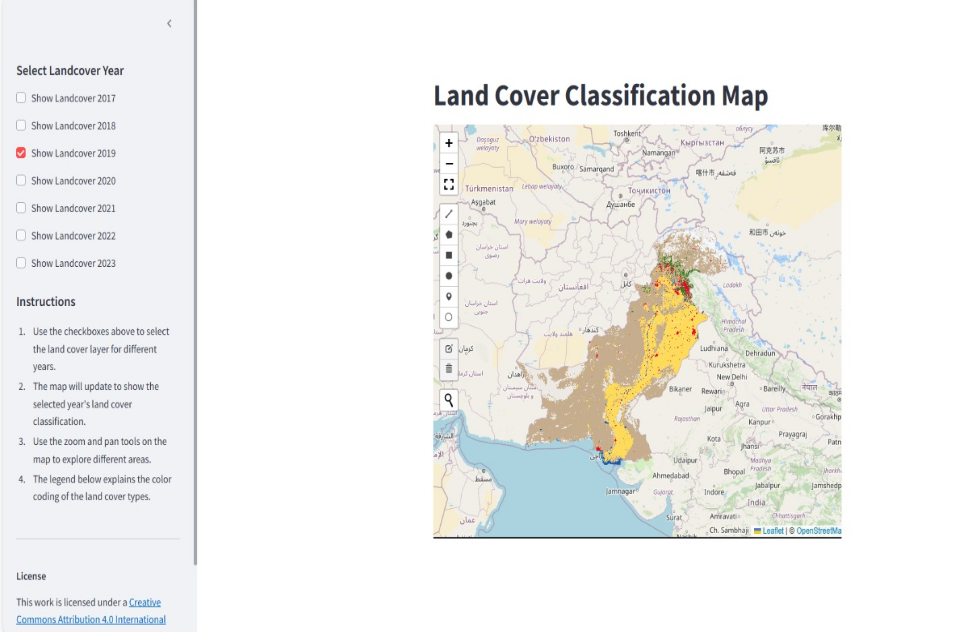
Landcover Classification of Pakistan from 2017-2023 using geemap library